E65
GPS Options Menu
Reference Section
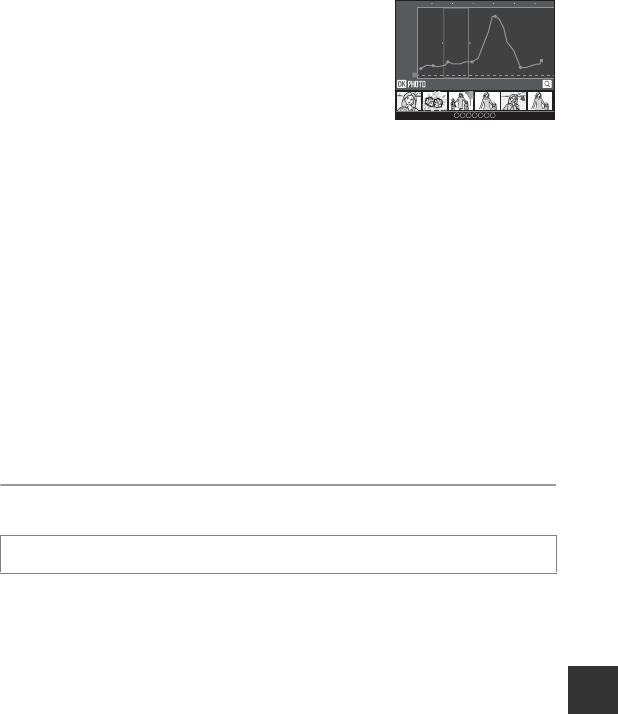
When Altitude/depth logs is selected
• The altitude information or water depth information is
displayed on the graph.
• When the zoom control is operated toward g (i), a
graph is enlarged. When the zoom control is operated
toward f (h), the entire graph is displayed.
• To move the graph display, press the multi selector J or
K.
• When the k button is pressed, another image can be selected.
- Press the multi selector J or K to select the image.
- To enlarge the image, operate the zoom control toward g (i). To return to the
graph display, operate the zoom control toward f (h).
• To erase the displayed log data, press the l button.
• The monitor display returns to that shown in step 2 when the d button is pressed.
To Erase Log Data
Press the l button in step 2 to select either function.
•Selected log: The selected log data is erased.
• All logs: All log data stored on the memory card is erased.
C GPS Log Data
Log data is NMEA format-compliant. However, display in any NMEA format-compliant software or on
any NMEA format-compliant camera is not guaranteed.
Synchronize
Signals from the GPS satellites are used to set the date and time of the camera’s
internal clock (only when Record GPS data in GPS options of the GPS options
menu is set to On). Check the positioning status before starting synchronize.
B Notes on Synchronize
• Date/time adjustment by Synchronize is set according to the time zone set in Time zone and
date (A22, E69) of the setup menu. Check the time zone before setting Synchronize.
• The date/time set using Synchronize is not as accurate as radio clocks. Use Time zone and date
in the setup menu to set the time if it is not accurate in Synchronize.
Press the d button M z (GPS options) menu icon (A8) M Synchronize
m / time
0 10 20 30 40 50 60
26/05/2013 [2] 15:30
20
40
60
80
100
0


