


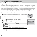

71Smartphones and Tablet Devices
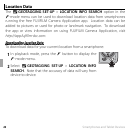
Location Data
U
U
Landmark Navigator
Landmark Navigator
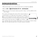
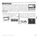
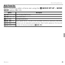
Landmark navigation uses location data and the camera
landmark database to show information on objects in the
display (this is sometimes known as “augmented reality,”
or AR). To view landmark information, download location
data for your current position from a smartphone and select U LANDMARK
NAVIGATOR in the F-mode menu (P 93, 104). The display varies with camera
orientation:
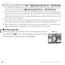
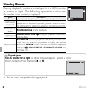
• For an “AR” display, hold the camera
with the lens pointed forward.
• For a “radar” display showing the
direction and distance to nearby
landmarks, hold the camera with
the lens pointed down.
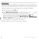
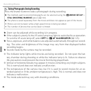
DIST:
20
m
NNNENNW
FUJIFILM
DIST:
DIST:
20
m
FUJIFILM
m
DIST:
20
m
N
NNE
NNW
FUJIFILM