305
Appendix
11
Using the GPS Unit
The following functions are available when the optional GPS unit O-GPS1
is attached to this camera.
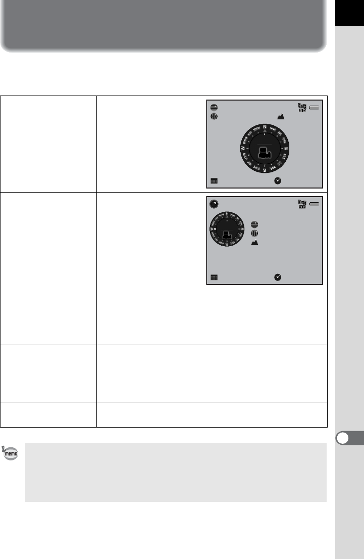
Electronic Compass
Displays the latitude,
longitude, altitude of the
current location, lens
direction and
Coordinated Universal
Time (UTC).
Simple Navigation
Displays the direction
and distance from the
current location, based
on the latitude and
longitude of the set
destination. You can
save the GPS location
information stored in a
captured image as the
destination or load the
destination from a
location information file
created on a computer.
(p.306)
ASTROTRACER
Tracks and captures celestial bodies. By matching the
movement of the camera’s built-in shake reduction unit
with the movement of celestial bodies, celestial bodies
can be captured as individual points even when shooting
with a long exposure setting. (p.308)
Auto Time Synch.
Automatically adjusts the camera’s date and time
settings using information acquired from GPS satellites.
• Refer to the manual of the GPS unit for details on how to attach the unit and
information on the unit’s functions.
• If [GPS] is assigned to the V/Y button, you can display the Electronic
Compass, Simple Navigation, or ASTROTRACER screen by pressing the
V/Y button. (p.249)
N
36°45.410'
W140°02.000'
10:00:00
89m
0°
10/10/2012
NewYork
270°
10000km
10:00:00
89m
N
36°45.410'
W140°02.000'
0°
Direction of Destination
Current Location
Distance to Destination
10/10/2012


