


90
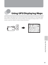
Using GPS/Displaying Maps
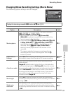
Changing the GPS or Electronic Compass Settings (Map Menu)
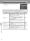
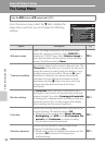
In map display mode, the following option settings
can be changed.
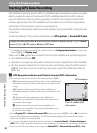
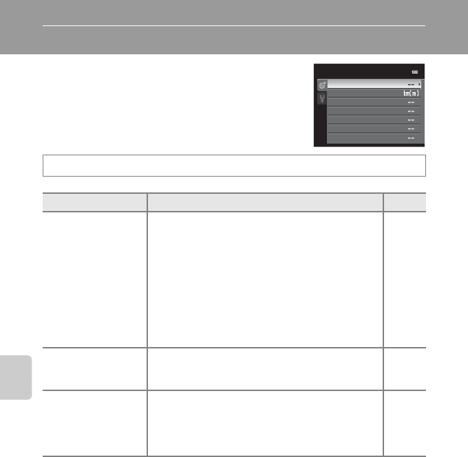
Press the action button (display map, A13) M d button M U tab (A11)
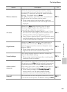
Option Description A
GPS options
Record GPS data: When set to On, signals are being
received from the GPS satellite and positioning starts
(A86). The default setting is Off.
Synchronize: Signals from the GPS satellite are used to
set the date and time of the camera’s internal clock
(only when Record GPS data in GPS options of the
map menu is set to On).
Update A-GPS file: A memory card is used to update
the A-GPS (assist GPS) file. Using the latest A-GPS file
can shorten the time needed for tracking the position
information.
E57
Distance units
The distance units of the map display can be selected
from km (m) (kilometers (meters)) (default setting) or
mi (yd) (miles (yards)).
E58
Calculate distance
Calculate the linear distance from the current location
to the shooting location on the image (only when
Record GPS data of GPS options of the map menu is
set to On) or between image shooting locations (only
when using playback mode).
E59
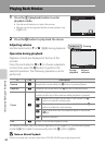
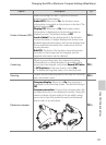
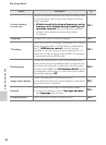
Electronic compass
View log
Create log
Points of interest (POI)
Calculate distance
Distance units
GPS options
Map menu