


87
Using Location Data Functions/Displaying Maps
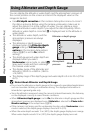
C Altitude Log and Water Depth Log
When Create log in the Location data options menu is selected, altitude or water
depth information can be recorded at regular intervals.
• If you select Start all logs, the log recording of location, altitude, and water depth
information starts.
• If you select Start depth log and submerge the camera under water, only the log
recording of water depth starts.
You can display the recorded logs as graphs by using View log.
C More Information
See "Data imprint" (A67, E18) to imprint information such as altitude and
direction measured by electronic compass on images.
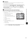
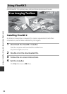
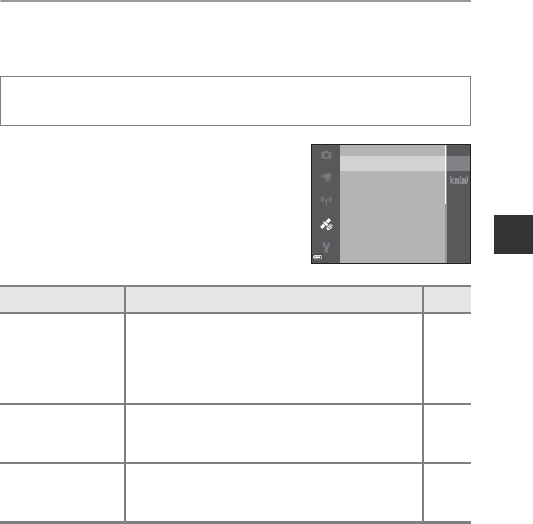
Functions That Can Be Set Using the d Button
(Location Data Options Menu)
The settings of the menu options listed below
can be configured.
• The Location data options menu can be
displayed also by pressing the d button
while the map is displayed.
Press the d button Mz (location data options) menu icon M k
button
Option Description A
Location data
options
Allows you to enable location data functions. To
update the A-GPS file, access the website below.
http://nikonimglib.com/agps3/
• Default setting:
- Record location data: Off
E79
Distance units
Allows you to set the distance units of the map
display.
• Default setting: km (m)
E80
Calculate distance
Allows you to calculate the linear distance from the
current position to the shooting location of the
image or between image shooting locations.
E81
Set clock from satellite
View log
Location data options
Distance units
Calculate distance
Points of interest (POI)
Create log