Using GPS Function
52
You can keep a record of where the camera was taken by using location
information acquired from GPS satellite signals over a period of time. Daily
location data based on acquired GPS signals is logged to a file, separate from
image data. This log file can be loaded into the included software (p. 2) to
trace the route taken with the camera on a map.
Since the date will be updated, and information location will be logged
continually whether or not the camera is on, battery life will be reduced even
when the camera is off. You may find the battery to be nearly depleted when
turning the camera on. Charge the battery as needed, or keep a spare
charged battery with you.
Activate GPS.
Follow step 1 on p. 49 to configure the
setting.
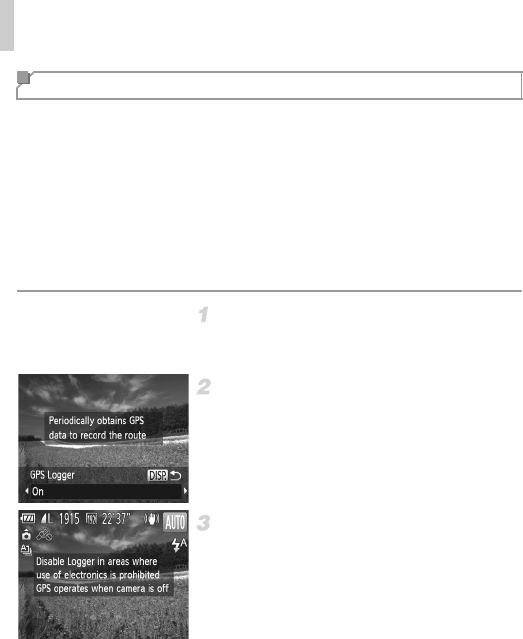
Configure the setting.
Press the l button, and press the qr
buttons or turn the 5 dial to choose [On].
To restore the original setting, repeat this
process but choose [Off].
Finish the setup process.
When you press the m button, a message
about the logger is displayed. Be sure to read
the message.
The logger function will operate, and the
date, time and location information based on
signals acquired from GPS satellites will be
logged to the camera.
The logger will continue to function even
when the camera is turned off.
Logging Camera Location Data


