144
Using Location Data Functions/Displaying Maps
Displaying the Recorded Location Data on a Map
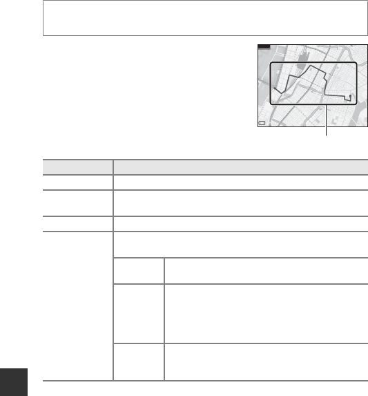
• When you select a log (date) that you want to
display and press the k button, the route of
the recorded log is displayed on a map.
• Press the l button when the log list screen is
displayed to delete the selected log or all saved
location logs.
• The operations described below can be
performed while a map is displayed.
* Action control can be used (A20).
C Location Log Data
Log data is NMEA format-compliant. However, the log data is not guaranteed to
display in all NMEA format-compliant software or cameras.
Press the d button M z (location data options) menu icon M View log
M k button M Location logs M k button
Operation Description
Multi selector* Move the map display (in eight directions).
Zoom control*
• g (i): Zoom in on the map display.
• f (h): Zoom out the map display.
l button Delete the displayed log.
k button
A menu is displayed, and the options described below can be
selected.
Location
logs
Return to the log list screen.
Save
location
Use the multi selector to select a location, and
press the k button to save the location (up to 30
locations).
• Select No on the confirmation dialog to exit the
registration screen.
Center on
saved
location
Move directly to the saved location.
• See “Map Operations of Saved Locations”
(A139) for more information.
500m
